Map worksheet · Geography
Latitude and longitude: locate 8 points · Grade 8
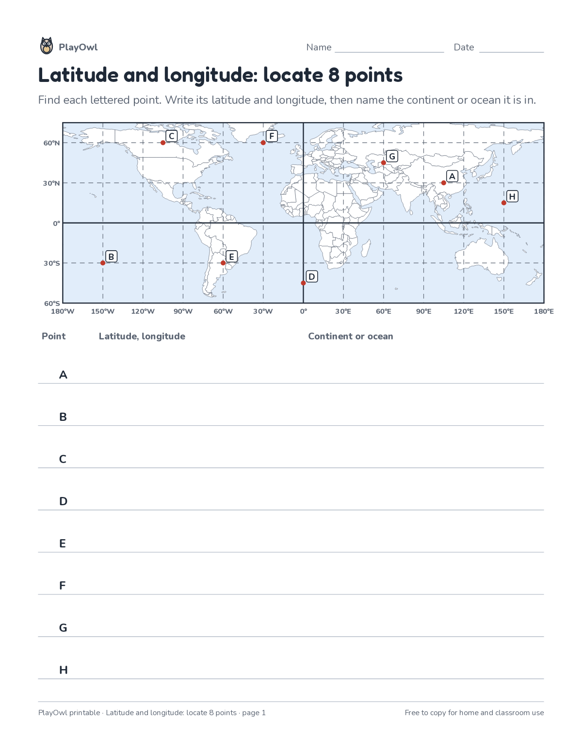
Read the latitude and longitude of 8 lettered points on a world grid, then name the continent or ocean each is in. Practices coordinates and hemispheres.
- Grade 8 · ages 13 to 14
- Medium
- 5 to 10 minutes
- 1 page
- Free
The answer key is a separate page for grown-ups. Sign in to download it.
What the sheet says
Directions: Find each lettered point. Write its latitude and longitude, then name the continent or ocean it is in.
- 180°W · 150°W · 120°W · 90°W · 60°W · 30°W 0° 30°E · 60°E · 90°E · 120°E · 150°E · 180°E
- Point · Latitude, longitude · Continent or ocean
What your child practices
Your child practices coordinates and hemispheres. The skill is “Latitude and longitude”: locate places using latitude and longitude.
- Grades and ages
- Grade 8, ages 13 to 14
- Time
- About 5 to 10 minutes
- Subject
- Geography
- Level
- Medium for Grade 8
- Answer key
- Yes, for grown-ups who sign in
- Printing
- 1 page, US Letter or A4, low-ink option
- Updated
How to use it
Find the map's title, key and compass together before answering anything. Point to each place on the map before writing the answer. It is pitched at the expected level for Grade 8, for practice after the skill has been taught.
An answer key comes with it as a separate page that grown-ups download after signing in.
Tip for grown-ups: Find the compass and key together before answering anything.
Done on paper? A grown-up can record it on the child's page in PlayOwl; downloading alone doesn't count as finished.
Geography · Grade 8
More like this
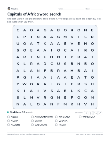 Capitals of Africa word search
Geography · Grade 8 · Puzzle · 1 page
Capitals of Africa word search
Geography · Grade 8 · Puzzle · 1 page
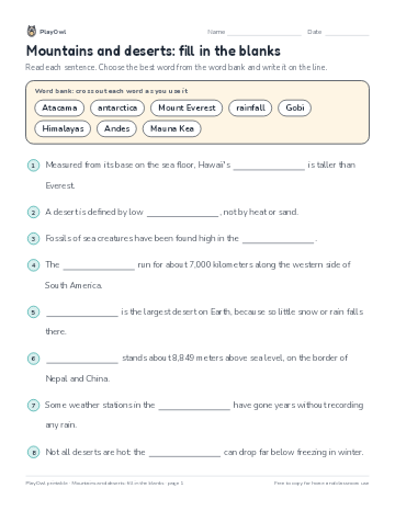 Mountains and deserts: fill in the blanks
Geography · Grade 8 · Reading · 1 page
Mountains and deserts: fill in the blanks
Geography · Grade 8 · Reading · 1 page
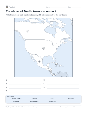 Countries of North America: name 7
Geography · 7–11 · Map · 1 page
Countries of North America: name 7
Geography · 7–11 · Map · 1 page
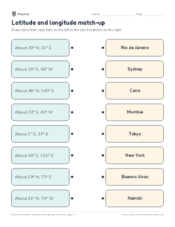 Latitude and longitude match-up
Geography · Grade 7 · Worksheet · 1 page
Latitude and longitude match-up
Geography · Grade 7 · Worksheet · 1 page
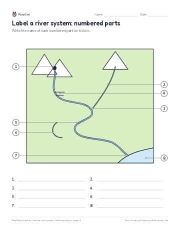 Label a river system: numbered parts
Geography · 8–10 · Worksheet · 1 page
Label a river system: numbered parts
Geography · 8–10 · Worksheet · 1 page
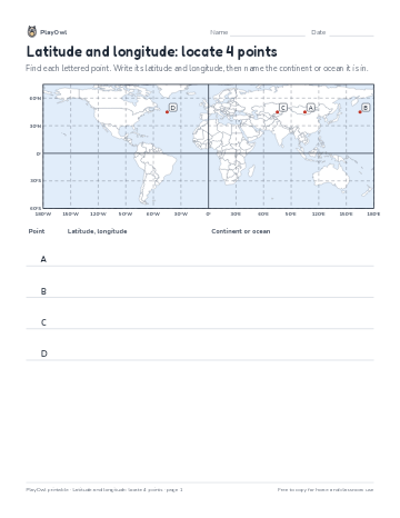 Latitude and longitude: locate 4 points
Geography · 6–7 · Map · 1 page
Latitude and longitude: locate 4 points
Geography · 6–7 · Map · 1 page
Printable generator
Make your own printables
Make brand-new sheets like this one, with answer keys, using the printable generator that comes with a PlayOwl plan. This sheet stays free.